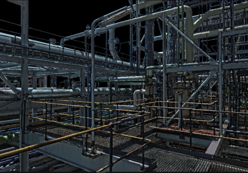
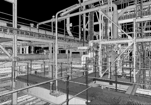
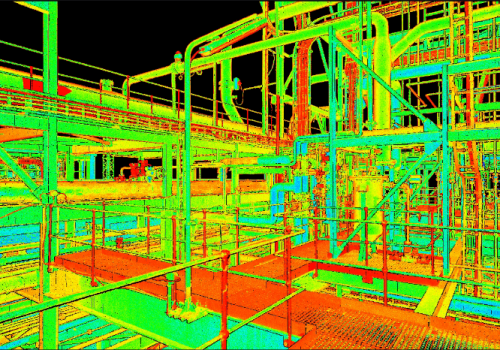
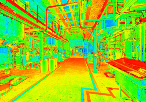
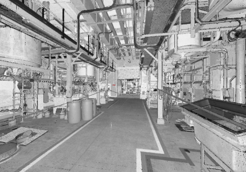
Our team is Equipped with the knowledge of using the Leica Scan Station P-Series as well as the latest Leica RTC equipment which we create as-built representation of a large industry sites from petrochemical to mining plants, generating 3D data for integration into Building Information Modelling (BIM). We deliver high quality 3D data Point clouds and HDR imaging with an accuracy of up to 3mm-5mm which is vital in all brownfields projects
Whether capturing 3D geometry of roads, rails, tunnels and bridges or high-definition scan data for as-built plants, you know you’ll need an accurate long range scanning tool for your projects. Because every detail matters.